These pages may not present clearly on some small smartphone screens; please use a normal large screen on a desktop, laptop, or tablet in landscape mode. Thankyou.
© Robin Lovelock.


 Snoopy the Viking will attempt the Atlantic again, from UK to USA, in his little robot boat.
The "Microtransat Challenge" is a French idea.
Snoopy's rescue in 2015: See
2015 Attempt
and the I-GotU track. Robin thanks the Royal Marines SBS. Beers ?
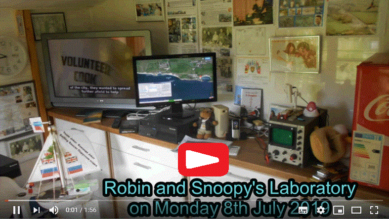
Video on left added.
from Robin: see my
Home
page, for an introduction to who I am. e.g. the Dr Strangelove video on the right. Love and Strength to All.
See below for the details of Snoopy's UK to USA Atlantic Attempts and testing of Team-Joker's boats for the next.

Home .
About .
GPS .
Downloads .
Business .
Partners .
Contact .
Family .
AVL .
Links .
History .
AsOnTV .
Holidays .
NHSCare.info .
Grumpy .
Snoopy
Cliquez sur le drapeau français ci-dessus si vous préférez grenouilles et les escargots à Roast Beef :-)


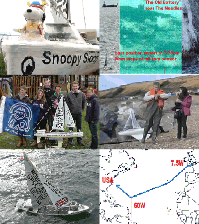
Snoopy's Robot Boat June 2019 Trans-Atlantic Attempt
This page was updated at 1200 BST = 1100z GMT/UT/GPS Time, Saturday 12th October 2019.
( + minor UC->LC image corrections on 27Oct2021 )
Click on pictures to expand or play a video.
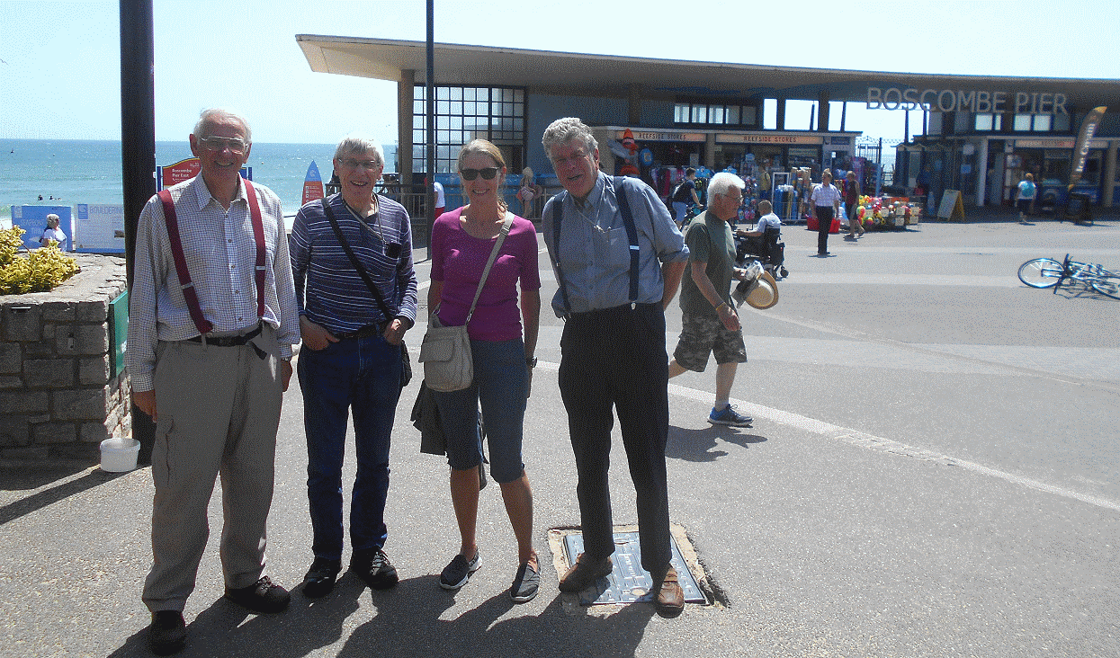
 We had that "weather window" of predicted flat surf and strong winds from the east lasting days.
So we decided to make the attempt, with Peter, Dick, June, and Robin, meeting at the usual place:
Zig-Zag steps west of Boscombe Pier.
There was coverage on local radio FM 103.8 and
Steve Harris on BBC Radio Solent.
e.g. Telephone interview at 0730 BST of Robin by Steve Harris. The sound is in
rb270619.wav
.
Snoopy, Robin, and June went in Robin's car, an old silver Mercedes reg "C4 GPS", and they left home at 0900 BST to meet Peter and Dick
near the Zig-Zag steps west of Boscombe Pier at 1030 BST.
Anyone could track Robin's car on
SpotT2.
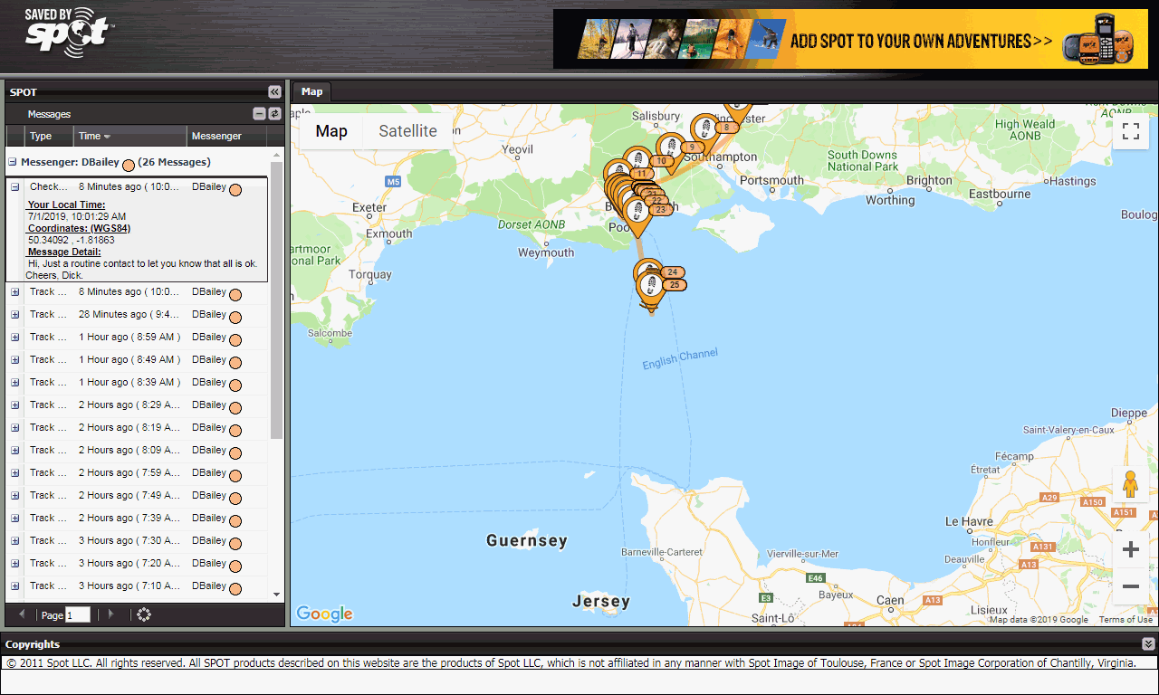
Anyone could also watch Snoopy's progress from our home in Sunninghill, south to to near Boscombe Pier, then out to sea, on Snoopy's
SPOT Trace map.
See
MagicSeaweed
Bournemouth webcam, surf, and wind.
See also
Winds Expected.
See
Marinetraffic.com
for other ships, their tracks, etc.
You could also
track Robin's Car, C4 GPS, on
SpotT2.
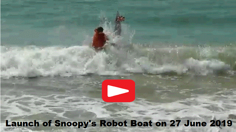
 The launch was at 1110 BST local UK time.
The surf was much higher than we expected, so Dick had
a struggle with the launch: play the 4 minute video above ! :-)
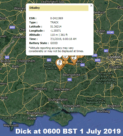
You could track Dick on
SPOT Dick
. After Peter, June, and Robin had returned to the comfort of their homes, Dick was off on a sailing trip, from England to the Channel Islands
and back. Safe Sailing Dick ! :-)
The wind was very strong, from the east, at over 20 mph gusting to over 30 mph. Further out waves were reported as being over 2.5 metres.
However, Snoopy did amaziingly well to resist being blown downwind, and onto the shore between Studland and Swanage.
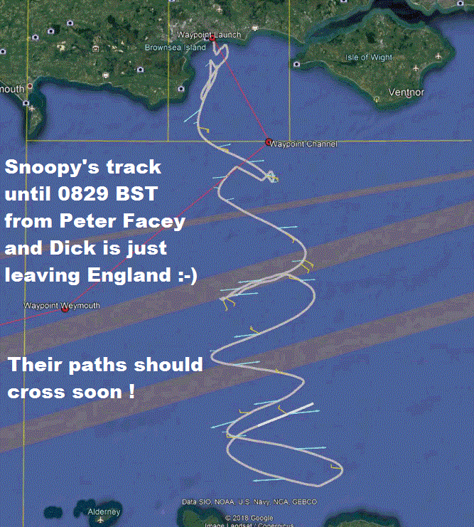
For some unknown reason, Snoopy would patrol north and south, without making progress east to his first "Channel" Waypoint,
but managing not to drift back.
We are still gathering and presenting the information, prior to analysis, but it would seem the autopilot must have been working,
or Snoopy would have been blown downwind.
For some unkown reason, when Snoopy reached the Latide 50.5 degrees of his "Channel" waypoint, he did NOT turn to head west,
downwind, towards the next "Weymouth" Waypoint. This would have been a very fast and easier journey for days.
The only likely explanation we can think of, is a software bug in the later Picaxe 28X2
Autopilot. This would be in the code that handles switching destination based on the latitude Longitude. e.g. is Latitude less than 50.5 degrees.
If this IS the only problem, we have the option of swapping the Picaxe 28X2 Autopilot with one of the earlier Picaxe 08M versions.
These have been tested on numerous attempts, and Snoopy had always sailed directly toweards the correct waypoint when the tide was turning
and not faster than the boats speed through the water.
 After getting south of "Channel", Snoopy kept sailing south, still avoiding being blown westward. Snoopy was heading for Cherbourg.
Dick decided to book a ferry, with the use of a bycycle at the other end, since it seemed certain Snoopy would hit the coast somewhere.
Dick missed his intended ferry, and got the later one. However, by then the winds had changed, or the Autopilot had decided to
change to a northely destination, and Snoopy started sailing north towards England.
Snoopy's
SPOT Trace
SatComs tracker worked well for the whole of Snoopy's 7 day mission, reporting every 5 minutes, so anyone to see him on a google map.
Dick passed Snoopy on the way to Cherbourg, but was too far away to see. We were keen to know if the strong wind had demasted the boat,
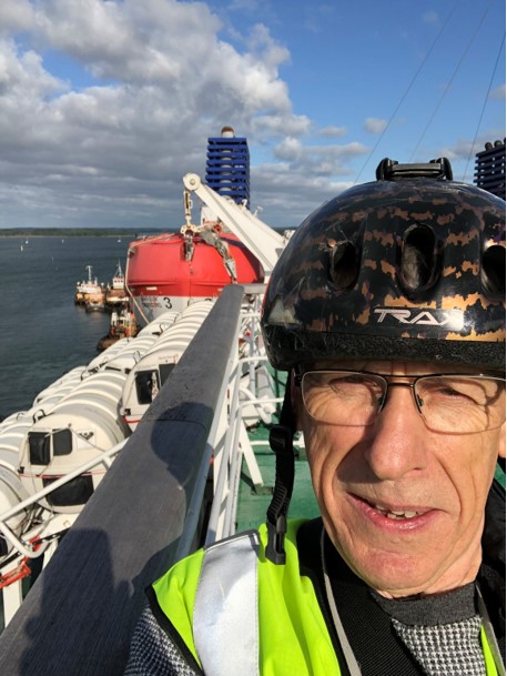
or at least broken a string ( Sheet ) to allow the Jib ( front sail ) to be lose. On Dick's return ferry, he was allowed onto the Bridge and
could see Snoopy's boat well enough with binoculars to see both sails up. A crew member with better eyesight reported that the
sails were also at the correct angle of 30 degrees.
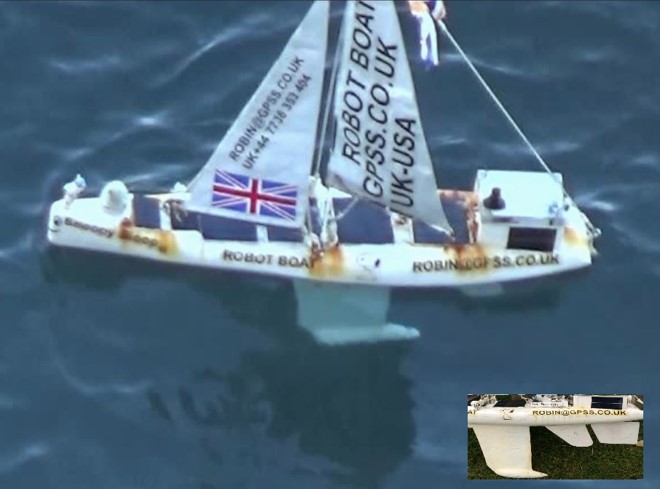
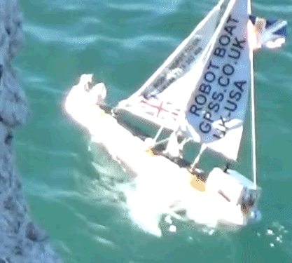 Snoopy was tracked coming back north to the south English coast. Peter and Dick met down there, armed with a drone and binnoculars,
but the drone was not needed: they could easily see Snoopy arriving. They got good photos and videos, confirming that everything looked OK,
including hull and sails. BUT they could also see that the rudder was missing ! When they eventually got the boat, it could be seen
that the rudder had been broken off.
 Without a rudder, Snoopy could not have
steered into wind, to avoid drifting downwind. BUT the winds were now gentler and blowing him north.
Snoopy's boat 11 was rescued by Jo, the friendly Fisherman below. We owe you a favour :-)
Robin has been delayed by other things, put under the "SITREP" at the end, and it took a while to start to add Dick ( and Peter's ) pictures.
The boat came near rocks, below the cliffs, at about 1000 BST = 0900 GMT.
Some time later, we all noticed that someone had picked Snoopy up and was taking him to Lulworth Cove.
It did not take long to discover that Snoopy was hidden below deck in a fishing boat :-)
1025 Saturday 13th July:
If Dick's pictures not shown properly, see details at top of this page. e.g. Robin's mistakes ? ; Browser ? ; Browser Cach ? ; Hosting ?

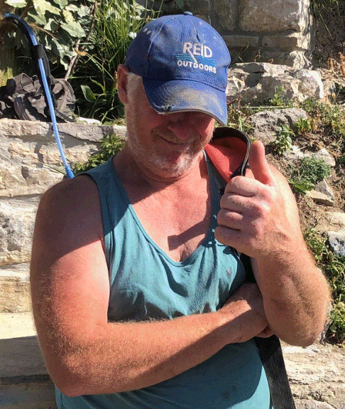
 From Robin to Jo, the Friendly Fisherman: I owe you a big favour, and great if you can contact me.
e.g. a treat up here one day, with your friend and/or family ? Maybe look at some spare boats I have for toys, in slower time ?
As soon as I saw Snoopy in Lulworth Cove, I rang the obvious place: the Boat Yard Cafe.
I asked Maria to look out the window to see Snoopy's white sails, and she went outside with the phone.
Maria was soon talking to Peter, Dick, Rob, and his mate, who then rowed out and collected Snoopy from below deck.
This can all be seen in our SPOT Trace maps. Peter did rather a tough deal with Rob,
getting Snoopy back in exchange for just 10 GBP into a charity. Robin thinks we can do
better than that, but it may take a little while: things are certainly very busy for a few days.
Rob: If Snoopy's rudder got snapped off after you guys found him, don't be embarrassed: how else would we have got
Snoopy's boat back so unscathed ? That way we should be able to explain Snoopy's wierd behaviour.
i.e. perhaps just a software bug that chooses the new destination waypoint.
I must admit, I reckon a lot of guys, in you and your mates situation, with Peter driving such a hard bargain,
would have "given Snoopy a good kicking" below deck ;-)
Robin sees that he is editing a different copy of AA2019A.HTM than that seen in his old MS Browser under Win 7 Home. Dick ??? :-)

 Peter and Dick then returned from Lulworth, spent a bit of time together, then went their seperate ways.
Both could be tracked by all of us: Dick on
"SPOT Dick", on his way to pick up the ferry at Gosport, and Peter with
Snoopy
in his car, bringing the boat back to it's home with Robin and June in Sunninghill.
We shot a little video, with Peter getting the boat out of the back of his car,
and putting Snoopy on his stand, ready waiting on the front lawn.
There was some filmed inspection of the contents of the box, including the jammed servo,
and fact that the batteries were flat. We then relaxed and chatted on our rear patio,
and were joined by neighbour Stuart, before Peter returned home.
A lot of work is still needed, to make sure this Attempt is documented,
well enough for anyone to understand. Not just to learn and prepare for Snoopy's next attempt,
but perhaps also to obtain some other "spin-offs", like "friends of friends" to visually inspect
our boat in all weather. Robin coined the term "Snap Snoopy" International Competition.
e.g. photos, or even video, from land, sea, air, or even space. Sometimes favours will
be done for all sorts of reasons, including fun, charity, or publicity with a purpose.
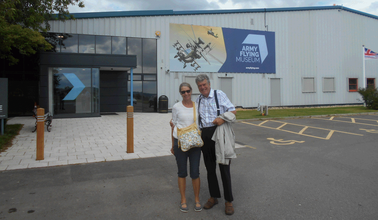
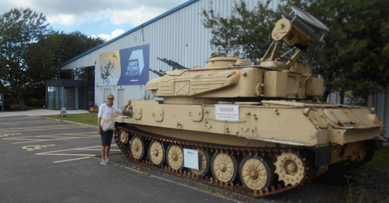
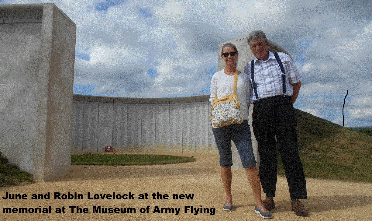
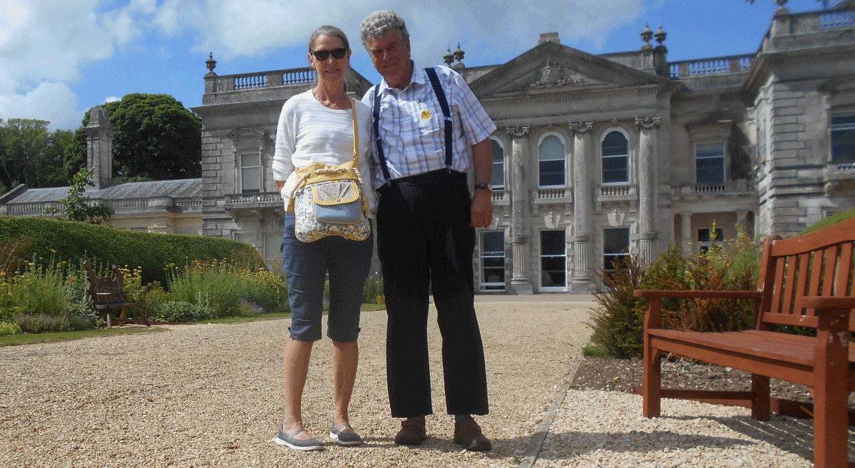 Strange as it may seem, Robin does do things other than play with Snoopy. On Saturday 29th, while Snoopy was far from land,
June and Robin went to the
Help for Heroes
garden near Tidworth HQ of Britsh Army, then Army Flying Museum
at Middle Wallop. Ref my "Snap Snoopy" Competition; Sometimes a "friend of a friend" can help ;-)
One picture is of the
New Memorial
at the Museum of Army Flying, which also had monuments to the regiments that my dad,
Len Lovelock
served in, after the Tank Regiment: The Parachute Regiment, then The Glider Regiment.
They say "Charity begins at home", and these are clearly UK based. However, in recent years
I've found local ex-service friends who have fought against our current NATO Allies.
Since leaving UK Defence Industry in 1994, I found friends in 150 countries, including Russia, Iran, and China.
But, if they decide to help "Snap Snoopy", it better be from Space, although it does not matter if it's friendly ;-)
After all, it was not so long ago, that the Americans were fighting their War of Independence against us British.
As Snoopy reminds you, I have been known to repeat the words of Bob Cosby, "We should never have worn red and marched in straight lines !" :-)
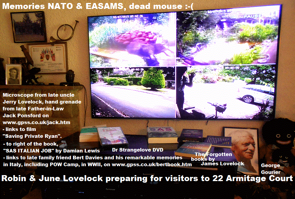
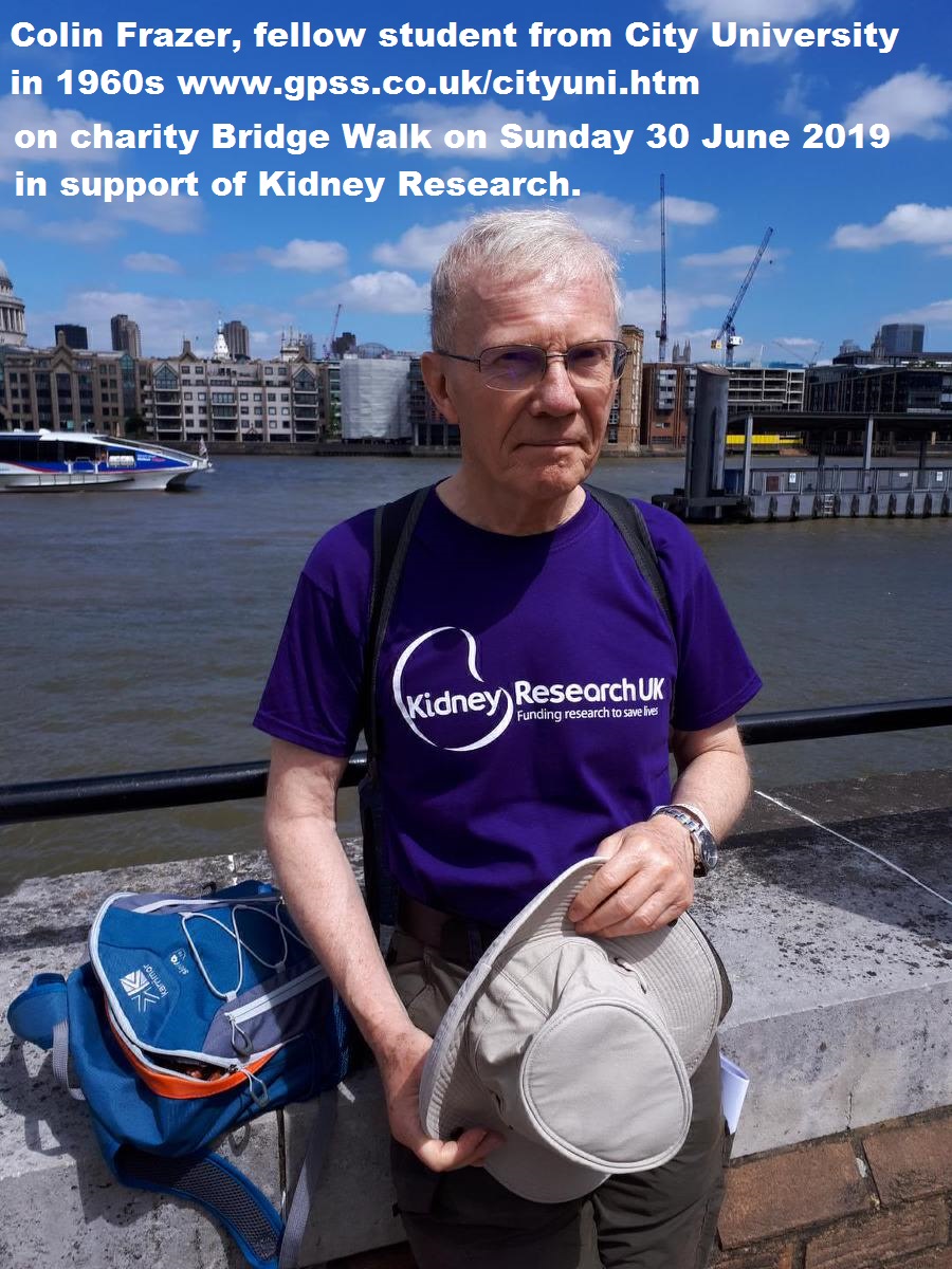
Here are some more pictures we used during Snoopy's Mission...


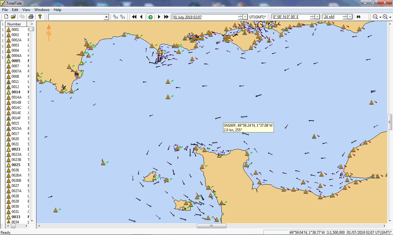
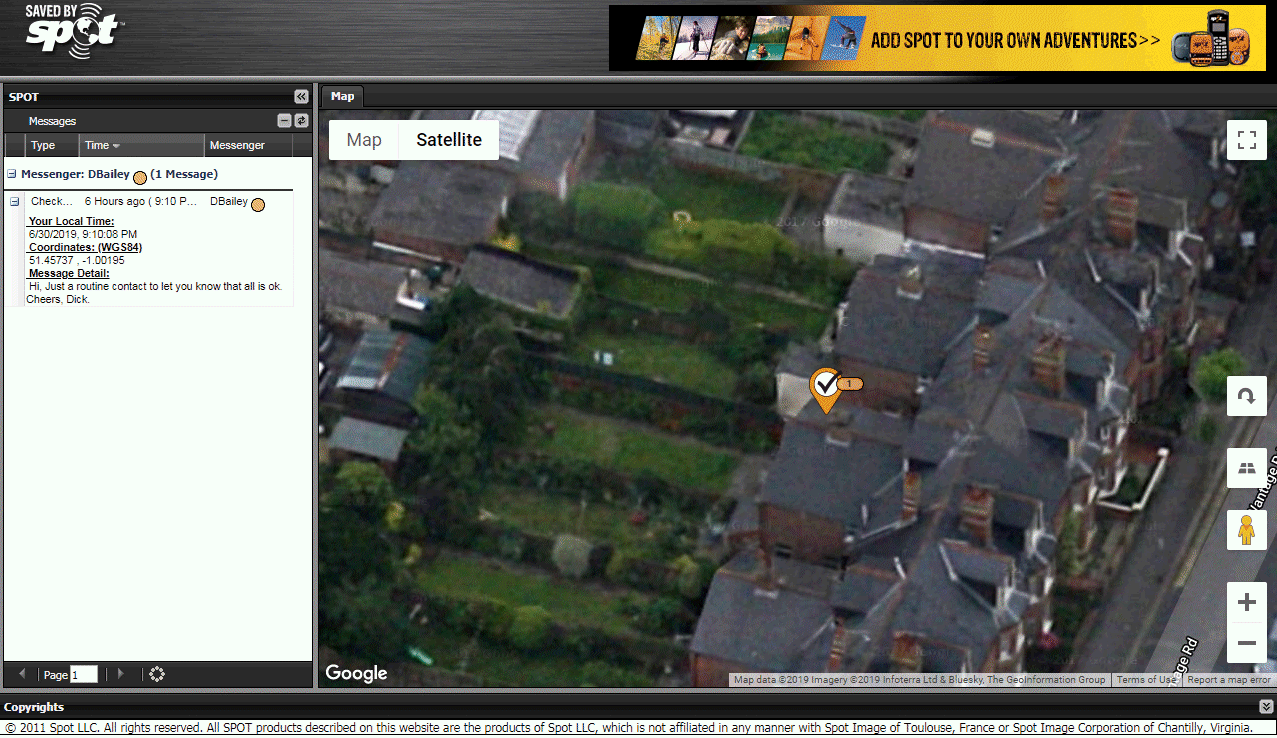
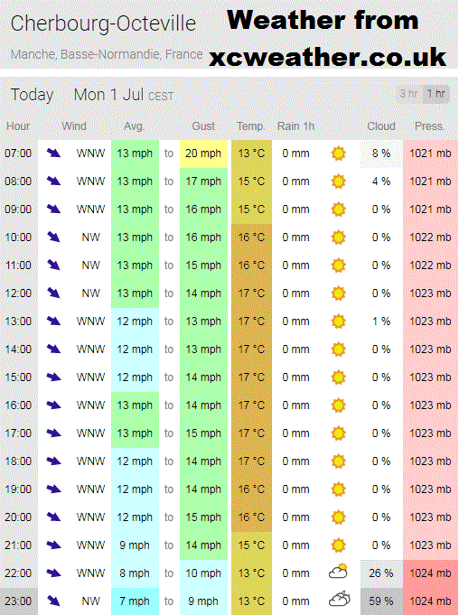





For the technical guys among us ...

 This section reflects my way of working with a wide network of friends, including Team-Joker, enthusiasts, journalists, retired military, etc, etc
- but mostly, Experienced Grumpy Old Men - and Women ! Some, like Dick, still have a taste for adventure, while others, like Robin ( me )
prefer others to do the hard work :-)
Snoopy's Boat 11 performed amazingly, and those 7 days were an amazing test of the total boat system, including hull, sails,
SPOT Tracker, and the Autopilot. For the first few days the wind was blowing at over 20 gusting over 30 from the east.
Waves were above 2.5 metres. Despite all this, Snoopy was not blown downwind, and westward. e.g. onto Studland beach.
Work is in progress to identify what has failed, other than the rudder being broken off and lost. The history of winds,
which changed when Snoopy got near France, and detailed track, compared with passing ships, may give us an explanation.
 If, as seems likely, that there was a software bug in the Picaxe 28X2 Autopilot, in selection of the correct waypoint,
that might explain why Snoopy DID NOT sail straight towards the next waypoint when the tide was changing and slack.
If that was the problem, then we can swap back to our earlier Picaxe 08M Autopilot, that has behaved as we would expect.
For those like Roy, who are familiar with the Picaxe software, here is the source code we used. Version "Romeo" in
AP28X2R.BAS. Yes, the MicroMite is MUCH easier to programme, but it takes years
to develop and properly test the software. Hence, for these attempts, I am still using the Picaxe.
Here is a download of Peter's recorded SPOT Trace Sat/Coms tracker data for those who want to display and analyse it.
AA19A.KML Snoopy's complete trip for display and analyis using Google Earth and alternatives.
AA19A.NME Snoopy's complete trip for display and analyis using Robin's
GPSS
and alternatives.
This is in the old GPS Industry standard NMEA format. See first and last lines below.
$GPRMC,100503,A,5043.0902,N,00151.3498,W,000.0,347.0,270619,,*09 First two SPOT Reports on 27th June.
$GPRMC,100823,A,5043.0968,N,00151.3522,W,000.1,168.6,270619,,*02 e.g. at 1008 and 23 seconds GMT. 1008z or 1108 BST local UK Summer Time.
$GPRMC,080105,A,5037.1160,N,00214.8794,W,000.0,276.0,040719,,*09 Last two SPOT Reports, on 4th July
$GPRMC,090653,A,5037.1232,N,00214.9874,W,000.1,276.0,040719,,*09
GPSS Plot of Peter's
aa19a1.nme for future simulations, etc.

For those helping Robin, you might want to plot one of these KML or NME files to show Snnopy's track at the end of his June 2019 Attempt.
If you choose a much lower viewpoint, perhaps a bit closer, you should see those rocks, cliffs, and hills
that Peter and Dick climed around. If we make the SPOT Dick tracker data available, we can see where Dick walked,
although he may have left his SPOT tracker in the same place as his cycling helmet and Go Pro camera ! :-)


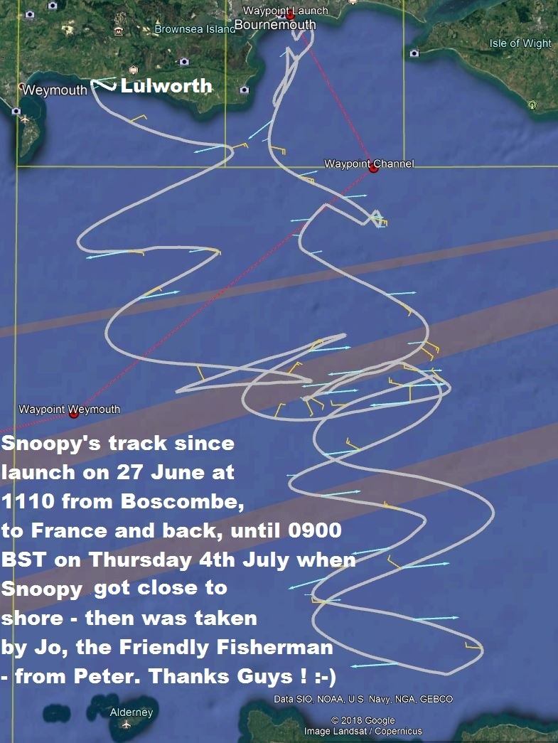
Here is a 3D view, using Google Earth, showing Snoopy's track after launch. Note unexplained movements ! Thanks Terry and Peter :-)

GPSS based GPS Simulator plot of Snoopy's end to his journey in Lulworth Cove after a close approach to Bat's Head.


There have been
 visits to this page counted by
Digits Web Counter since 1330z GMT on 7th July 2019.
How the Web Counters work is explained at the bottom of the
Snoopy
page.

© 1991-2019 Robin Lovelock. Please credit www.gpss.co.uk if you use material from any of these pages. Thankyou.


 Snoopy the Viking will attempt the Atlantic again, from UK to USA, in his little robot boat.
The "Microtransat Challenge" is a French idea.

![]()
![]()
![]()
![]()
![]()
![]()
![]()
![]()
![]()


